

Vigouroux A environ 1 km de Vigouroux, en direction de Narnhac, à gauche de la D 57 15230 Saint-Martin-sous-Vigouroux
Ancien connecting road from Saint-Flour to Aurillac
Description
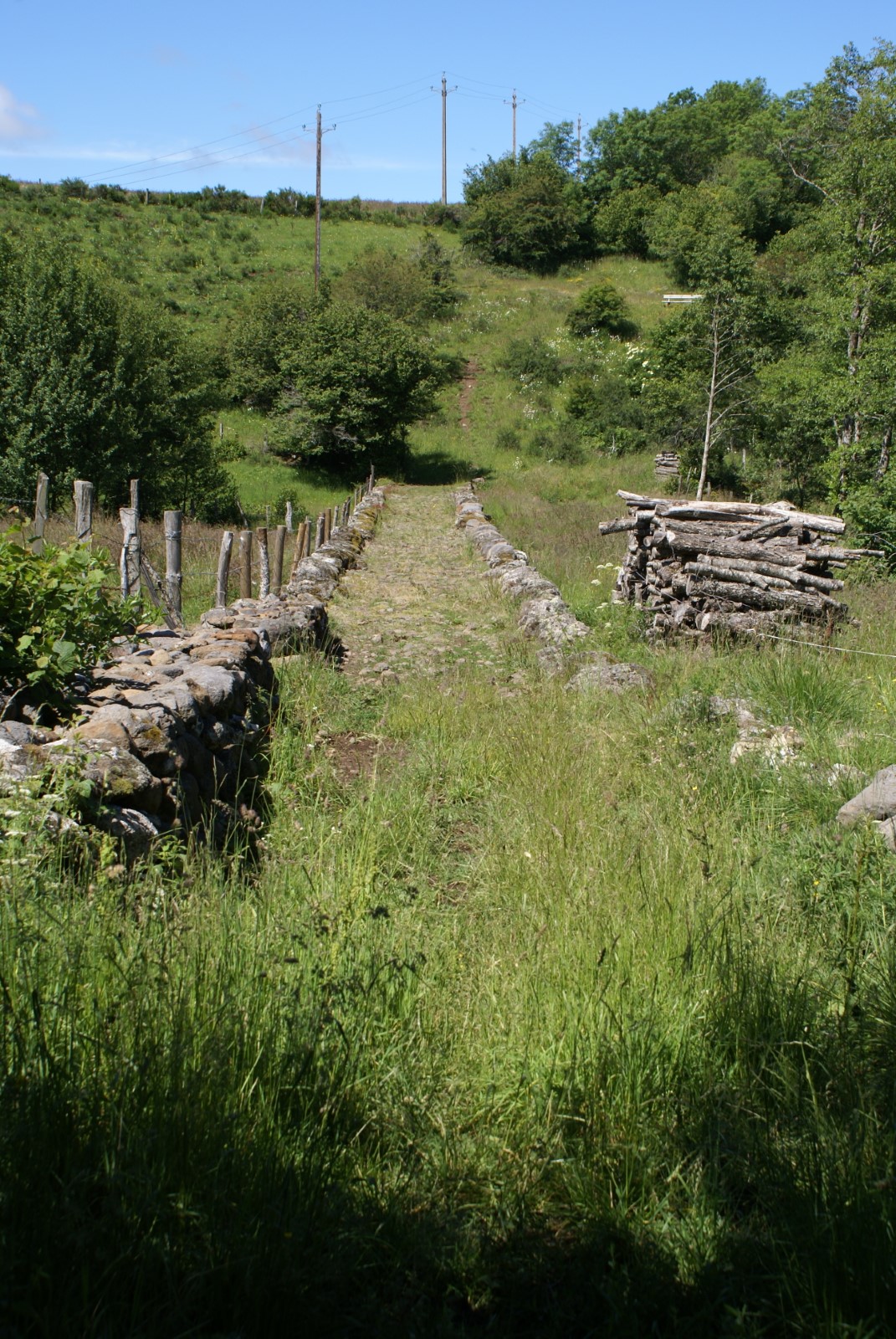
The Chaussée de Vigouroux is a part of the former communication road wich connected Saint-Flour and Aurillac in the department Cantal. In the 18th century it took 5 days on foot to make this way.
The old road begins 1 km after the village Vigouroux on the left of the D 57, goes down to the little river Hirondelle, crossed by the a remarkable ancien stone bridge, and joins 250 m later again the D 57 (indication signs).
Today, the bridge has to be restored. This project benefits from the help of the Mission Stéphane Bern and the Fondation du Patrimoine.
To know more: https://www.fondation-patrimoine.org/les-projets/chaussee-de-vigouroux-st-martin-sous-vigouroux
Profile
- Altitude : 1064 m
Ranking
- Historic patrimony
- Archeological site
Spoken languages
- French
Visits
Individual visit
- Duration individual visit: 00 hours (average)
- Unguided individual tours available permanently
Group visite
- Duration of visit:00 hours (average)
- Unguided group tours available permanently
Benefits
Services
- Pets welcome
Opening
All year round, daily.
